
Hurricane Nolo eases to Category 3, still aiming at Papahānaumokuākea
Hurricane Nolo remained a Category 3 storm with 115 mph winds early Tuesday Hawaii time, moving north about 405 miles west of Honolulu and well away from the main Hawaiian Islands, the Central Pacific Hurricane Center said. A hurricane warning remains for parts of Papahānaumokuākea; Kauai County may see 3 to 6 inches of rain Tuesday through Thursday.
AI-assisted · US Brief desk · Sources listed below
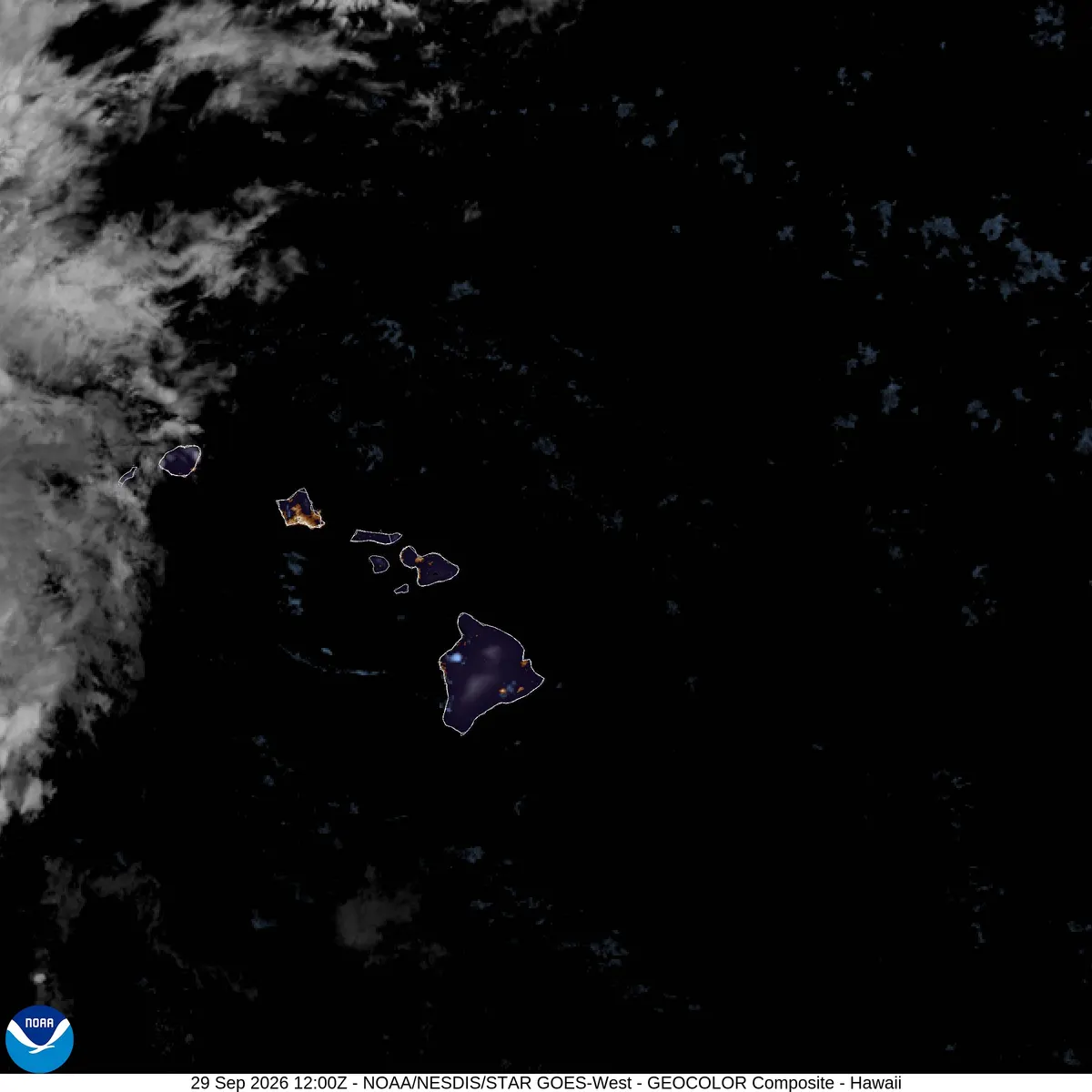
What happened
Star-Advertiser's 8 p.m. HST Monday update put Nolo about 330 miles south-southeast of French Frigate Shoals and 425 miles west-southwest of Honolulu with maximum sustained winds of 120 mph, moving northwest at 15 mph. That is down from 145 mph (still Category 4) in the 2 p.m. package and from about 155 mph in early-Monday advisories that had raised the possibility of a brief Category 5 peak. A hurricane warning remained in effect for the monument from Nihoa to French Frigate Shoals, with tropical-storm conditions possible Tuesday and hurricane conditions expected by Wednesday. By CPHC's 2 a.m. HST Tuesday intermediate advisory, Nolo had eased to 115 mph and turned north at 10 mph, about 300 miles south-southeast of French Frigate Shoals and 405 miles west of Honolulu, as dangerous conditions spread across the monument's southeastern waters; the hurricane warning was unchanged and a hurricane watch may be needed for more of the monument later Tuesday.
Why it matters
Even as winds ease from peak Category 4 intensity, a major hurricane near Papahānaumokuākea and trailing rain on Kauai keep marine and flash-flood hazards active after a weekend of outages and saturated ground on Maui and Oahu covered in earlier US Brief updates.
What’s next
Tuesday's closest approach to the monument, Kauai rainfall totals, whether Nolo restrengthens later in the week as some earlier forecasts suggested after midweek weakening, and county civil-defense notices.
More context
Hurricane Nolo weakened from a high-end Category 4 earlier Monday to a Category 3 storm by evening as its center tracked northwest, farther from Hawaii's main islands but toward the Papahānaumokuākea Marine National Monument, according to Central Pacific Hurricane Center figures cited by the Honolulu Star-Advertiser.
Impacts still in play: Forecasters expected Nolo's outer bands to produce 3 to 6 inches of rain across Kauai and Niihau from Tuesday through Thursday, with flooding and mudslide risk in steep terrain. Large swells were still expected to affect south- and west-facing shores of the main islands and to inundate some low-lying atolls in the monument. The center was forecast to stay well southwest and west of the populated islands while approaching the monument Tuesday, then turn north as an upper-level low complicates the midweek track.
Uncertainty: Advisory winds and positions change every few hours. US Brief could not load a clean NHC/CPHC text advisory page at the time and relies on Star-Advertiser's citation of those packages — confirm the latest official advisory before travel or marine activity. Invest 91E east-southeast of the islands was a separate system with a high chance of development and was expected to stay well east of Hawaii.
4 listed sources
- Honolulu Star-Advertiser staff, Sep 28–29, 2026 (updates through 8 p.m. HST): Rain expected Tuesday for Kauai County as Hurricane Nolo continues to pass Hawaii
- Central Pacific Hurricane Center advisories as quoted by Star-Advertiser; check / https://www.weather.gov/hfo for the latest package
- NOAA NESDIS STAR GOES-West HI GEOCOLOR latest imagery
- NWS Central Pacific Hurricane Center, Hurricane Nolo Intermediate Advisory 35A, 2:00 AM HST Tue Sep 29, 2026
References listed by US Brief; a source count is not a verification score.
Editorial sourcing notes
Intensity/track updates follow Honolulu Star-Advertiser staff coverage updated through ~9:05 p.m. HST Sep 28 / early Sep 29: 8 p.m. HST fix — Cat 3, 120 mph, ~330 miles SSE of French Frigate Shoals / ~425 miles WSW of Honolulu, NW at 15 mph; 2 p.m. still Cat 4 at 145 mph; 5 a.m. peak discussion ~155 mph. Hurricane warning for Papahānaumokuākea (Nihoa to French Frigate Shoals); 3–6 inches rain Kauai/Niihau Tue–Thu. Direct fetches of NHC/CPHC HFOTCPCP2 text products returned empty HTML shells at the time (possible site issue); we therefore attribute figures to Star-Advertiser's CPHC citations and urge readers to confirm the latest advisory at weather.gov/hfo or hurricanes.gov. HST is UTC-10 (PT+3). Refreshed Tue Sep 29 ~5:50 a.m. PT with CPHC Intermediate Advisory 35A (2 a.m. HST): 115 mph, moving N at 10 mph, 300 mi SSE of French Frigate Shoals, 405 mi W of Honolulu; warning unchanged.
Like US Brief? You can support it with a tip.